


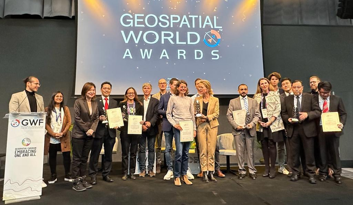
Geospatial World Awards is an annual recognition program that honours individuals, organizations, and products for their outstanding contributions and innovations in the field of geospatial technology and its applications.
Geospatial refers to the field that involves the collection, analysis, and visualisation of data associated with specific locations on Earth’s surface. It encompasses the use of technologies like GIS, GPS, and remote sensing to gather and interpret geospatial data.
Geospatial information plays a critical role in urban planning, environmental monitoring, infrastructure development, disaster response, agriculture, and many other sectors.
Bernama reports that the Malaysian Space Agency (MYSA), operating under the Ministry of Science, Technology, and Innovation (MOSTI), was recently honoured with the Geospatial World Excellence Award 2023 for their utilisation of geospatial tools and solutions in the area of food security and agriculture. The award ceremony took place during the Geospatial World Forum 2023 held in Rotterdam, Netherlands, from 2 to 5 May.
MYSA achieved this recognition by effectively implementing remote sensing technology to develop and operate the Padi Geospatial Information System (MakGeoPadi). According to the United States Geological Survey, remote sensing is:
The process of detecting and monitoring the physical characteristics of an area by measuring its reflected and emitted radiation at a distance (typically from satellite or aircraft).
The MakGeoPadi system, which has provided substantial benefits to 192,663 rice farmers, continues to be actively utilised and enables relevant authorities to efficiently and effectively manage and monitor rice crops across 12 granary areas in Malaysia.
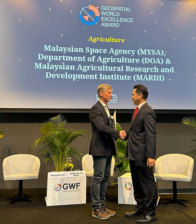
MOSTI stated that the award-winning MakGeoPadi system was created through strategic collaboration with the Department of Agriculture, the Farmers’ Organisation Authority, and the Malaysian Agricultural Research and Development Institute in 2010.
The ministry added that this achievement highlights Malaysia’s ability to generate innovative solutions using space geospatial technology, placing the country on par with developed nations.
It also demonstrates the ongoing efforts of MOSTI and MYSA to strengthen the field of space science and technology, aligning with the objectives of the National Space Policy 2030. These efforts focus on infrastructure development and space applications that positively impact the country’s security, economy, and society.
In another food related news, according to Datuk Seri Mohamad Sabu, the Minister of Agriculture and Food Security, efforts are underway to establish a big data system that will provide real-time information on the vegetable supply within the country. While he couldn’t provide an exact timeline for its availability, he assured that diligent work is being done to make it a reality, although he couldn’t guarantee its completion within this year.
Drawing inspiration from the positive impact of a similar big data system in China, the ministry is collaborating with the Federal Agricultural Marketing Authority (Fama) and other stakeholders on this initiative. The envisioned system will enable the ministry to determine the appropriate types of vegetables to be cultivated, thereby preventing overproduction that could lead to significant price drops.